
Imagine you’re in the midst of a natural disaster, such as a wildfire. You call for help, but your phone doesn’t work because the cell towers have burned down. This worrisome scenario is more common than we might imagine. Too often, disaster response processes rely on infrastructure that is vulnerable to the effects of the same disaster. This is a problem that Hubble Network intends to solve.
Hubble is a Seattle-based space-tech startup that just launched the world’s first satellite-powered Bluetooth Low Energy (BLE) network. Its technology tracks people, assets, and infrastructure anywhere on Earth without relying on cell towers or Wi-Fi.
According to Alex Haro, Hubble’s CEO, today’s disaster response depends heavily on terrestrial infrastructure, e.g., cellular towers, Wi-Fi hotspots, and power grids. As he put it, “The problem is that these are often the first systems to fail in a natural disaster, whether from flooding, earthquakes, wildfires, or hurricanes. When they go down, responders lose visibility into where people are, how relief teams are moving, and what resources are needed.”
The resulting communication blackout can delay the deployment of aid, lead to duplicate efforts, or even put rescue teams in danger because they don’t know where colleagues are located. “In fast-changing environments, minutes matter, and without reliable connectivity, coordination breaks down,” Haro added.
What’s missing in current disaster response technological solutions? Most existing disaster response technologies require expensive, bulky satellite gear, such as sat phones or satellite modems, which aren’t practical for mass distribution. Many such solutions are energy-intensive and quickly deplete batteries. They die when power is scarce. According to Haro, “What’s missing is a low-cost, low-power, infrastructure-independent way to track and communicate location data that can scale across thousands or even millions of devices. That’s what we’re doing with Hubble.”
Haro offered two scenarios that illustrate the problem:
- Hurricane aftermath: A coastal city loses power and cell service. Relief teams arrive but cannot locate each other. Supplies pile up at the airport while neighborhoods remain unreachable. Without reliable location tracking, resources are wasted and lives are put at risk.
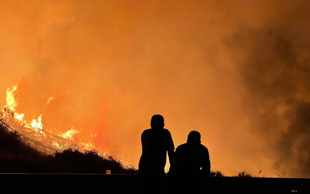
- Wildfire evacuation: Families evacuate from rural areas where cell towers are burned or overloaded. Aid workers and shelters have no clear picture of where displaced populations are moving, making it harder to allocate water, food, and medical support.
These difficulties often show up in news coverage of disasters, but not by name. they’re presented as “Relief efforts snarled by conditions on the ground,” and so forth. What the news media really means is that first responders can’t communicate with each other, and disaster survivors cannot tell anyone where they are or what’s happening to them.
Hubble’s satellite-powered Bluetooth tracking creates a new mode of communication that sidesteps the problems of traditional infrastructure.Hubble enables any standard Bluetooth Low Energy (BLE) chip, the kind found in billions of everyday devices, to talk directly to satellites in orbit. This is a capability that many engineers dismissed as physically impossible when the company first launched. They’ve since been proven wrong.
Instead of requiring cell towers or Wi-Fi, a BLE chip sends a small, encrypted data packet straight to a Hubble satellite overhead. The satellite relays that data back to ground stations and into secure cloud services where relief coordinators can see the information in real time. Because BLE chips are extremely low-power, devices can last months or even years on small batteries, making them ideal for disaster response scenarios where recharging isn’t possible.
Hubble’s technology enables the tracking of relief teams and displaced populations, even with power and cell outages. BLE devices connected through Hubble remain operational without relying on terrestrial infrastructure. This allows commanders to track teams in the field and locate displaced individuals when conventional networks are offline. The company’s solution delivers secure, encrypted location data from inexpensive, low-power devices. Devices are affordable enough to be widely deployed and given to every responder, aid vehicle, or evacuee wristband if needed.
Haro said, “Our goal is to make it possible to maintain uninterrupted situational awareness across vast, hard-to-reach areas—from dense urban environments to remote mountain valleys, satellites provide continuous coverage. Relief coordinators can maintain a live map of people, assets, and supply routes, enabling smarter decisions and faster aid delivery.”
Disaster response is one area where Hubble’s approach could have an impact. More broadly, the company is trying to address a fundamental set of challenges inherent in operationalizing the Internet of Things (IoT) paradigm. While it’s relatively simple to manufacture and deploy IoT devices, it can be difficult and expensive to connect them to reliable data management infrastructure. Deploying edge data centers, for example, can be prohibitively expensive in geographically dispersed IoT scenarios. By creating a direct space link, Hubble gets around this obstacle.
Photo by Recep Tayyip Çelik: https://www.pexels.com/photo/people-looking-at-the-forest-fire-9076534/